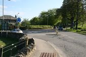
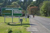
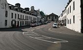
The terminus of both the A85 and A816 at Argyll Square in Oban.
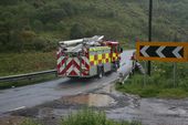
Emergency on the A816! A fire engine crosses the Oude Bridge, with the road closed further south due to an accident
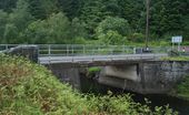
The A816 crossing the River Oude. This is the most northerly of the routes three narrow bridges
The A816 climbing through Glen Gallain
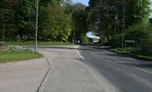
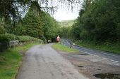
The A816 used to swing left here, with the A817 continuing ahead. Now however, the A816 continues, and Bishopton Road to the left is unclassified.
The roundabout at the current terminus of the A816 (formerly the A817) on the A83 in Lochgilphead.
Approaching the current terminus of the A816 (formerly the A817) on the A83 in Lochgilphead.
The former terminus of the A816 on the A83 in Lochgilphead, now a mini roundabout.
Heavy Traffic In Combie Street
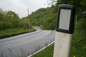
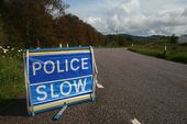
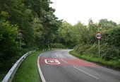
'Police Slow' warning sign on the A816. The road was closed further south due to an accident.
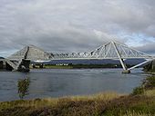
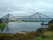
Connel Bridge across Loch Etive, with A85 in foreground.
The new (1939) bridge across the River Duror on the A828
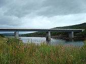
Creagan Bridge and the new roundabout on the A828, from the cycle track on the south side.
The A828 Ballachulish to Connel road
A828, Connel Bridge, Argyll
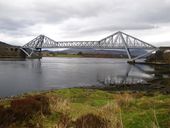
Taken in August 2002 looking East when the Connel Bridge (Oban to Fort William road) was being renovated for its centenary.
Originally uploaded to Coppermine on Nov 27, 2006 by Belnahua A828, Connel Bridge, Argyll
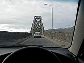
Driving over the Connel Bridge towards Fort William. Connel Bridge has had an odd history. From soon after its construction road vehicles were sometimes carried across on a railway wagon. In 1914 it was converted to allow road vehicles to drive over it, and for the next 50 years the bridge was used by both road and rail traffic. This stopped with the closure of the Ballachulish Branch Railway in 1966, and since then the bridge has been used exclusively by road traffic, controlled through the narrow roadway by traffic lights.
Originally uploaded to Coppermine on Nov 27, 2006 by Belnahua A828 Connel Bridge
I didn't realise until I read the nearby plaque that this bridge used to be a rail bridge and was converted to a road bridge in the 60s when the rail line was closed.
Originally uploaded to Coppermine on Jun 27, 2008 by Jack Russell A828 Creagan Bridge
Originally uploaded to Coppermine on Jun 27, 2008 by Jack Russell
A828 bridge in Kentallen, dated 1939
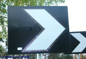
Illuminated chevrons
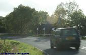
There is a bend on the A828 near Appin that has a history of a series of serious accidents
Vehicle activated illuminated chevrons have now been installed there, these flash in sequence when a vehicle approaches. They seem to be solar powered.
First time that I have seen these but sure someone will say they have been around for years
Originally uploaded to Coppermine on Oct 11, 2008 by J--M--B Illuminated chevrons
There is a bend on the A828 near Appin that has a history of a series of serious accidents
Vehicle activated illuminated chevrons have now been installed there, these flash in sequence when a vehicle approaches. They seem to be solar powered.
First time that I have seen these but sure someone will say they have been around for years
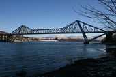
Originally uploaded to Coppermine on Oct 11, 2008 by J--M--B The Connel Bridge on a winters day
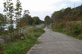
Section of abandoned road next to the modern A828 at Duror Cemetery.
Looking across the new bridge over the River Duror on the A828
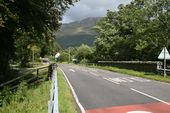
Entering Duror on the A828. The old alignment to reach the old bridge forked left between the 40 and the School signs.
Illuminated chevrons
There is a bend on the A828 near Appin that has a history of a series of serious accidents
Vehicle activated illuminated chevrons have now been installed there, these flash in sequence when a vehicle approaches. They seem to be solar powered.
First time that I have seen these but sure someone will say they have been around for years
Originally uploaded to Coppermine on Oct 11, 2008 by J--M--B The cycle track forks left, following the old road, while the new road takes a straighter route, partially along the old railway line.
The cycle lane follows the old road on the right, while the new road runs along the old railway line. Behind me, the old road remains as a public road providing access to the houses of Lurigrnish and Polanach
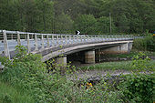
The new bridge across the River Fyne on the A83
Looking north from the Rest and be Thankful along the Bealach an Easain Duibh
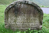
Date Stone at Rest and be Thankful:
'Military Road Repaired by 93rd Regt 1768 Transferred to Comissioners for Highland Roads and Bridges in the year 1814.'
Looking north from the Rest and be Thankful along the Bealach an Easain Duibh.
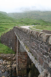
The new Butter Bridge over the Allt Kinglas on the A83 to the west of the Rest and be Thankful
The new Butter Bridge over the Allt Kinglas on the A83 to the west of the Rest and be Thankful
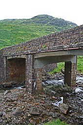
The old Butter Bridge over the Allt Kinglas on the A83 to the west of the Rest and be Thankful
Summit stone at the REst and be Thankful
Summit stone at the REst and be Thankful
Originally uploaded to Coppermine on Apr 15, 2007 by Nwallace The old bridge across the River Fyne on the A83
Looking down the final part of the A83 at its TOTSO junction with the A82
One of the long straights on the A83 near Port Ann, leading on to a sweeping bend and another straight!
Minard where the A83 meets the coast once more. Looking north-east up Loch Fyne
Unexpected Traffic Lights controlling a narrow section of the A83 at the southern end of Minard on the shore of Loch Fyne.
One of the joys of driving the A83, the long sweeping descent to Inveraray from the south.
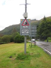
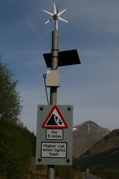
Falling/fallen rocks warning with flashing lights to indicate higher risks of landslips on A83 at Ardgarten.
Warning sign on the A83 east of Dunoon Road End
