Gallery:B970
From Roader's Digest: The SABRE Wiki
Jump to navigation
Jump to search
B900-B999 > B970
This gallery has no child categories
B970
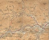
The old B969 and B970 between Ballater and Balmoral
This page contains scans from a map that is believed may be out of copyright according to UK Crown Copyright, UK Copyright Law for other maps published in the United Kingdom, or Irish Government Copyright, is not being used to generate profit in this context, and presents information that cannot be exhibited otherwise.
If the copyright holder considers this is an infringement of their rights, please contact the site management team to discuss further steps.
If the copyright holder considers this is an infringement of their rights, please contact the site management team to discuss further steps.
Southbound sign for Glen Feshie Junction
Southbound sign for Glen Feshie Junction, similar sign going north, never took a shot :-(
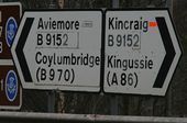
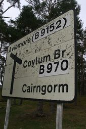
Originally uploaded to Coppermine on Apr 15, 2007 by NwallacePatched sign on the B9152 at the A9 junction south of Aviemore. The Coylumbridge patch presumably covers A951, Aviemore the A9, but what about Kincraig?
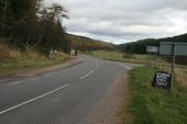
ADS on the approach to Inverdruie from the south on the B970. The patches here presumably cover up A951
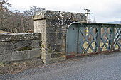
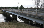
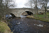
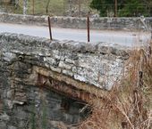
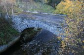
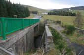
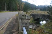
A close up of the slight widening of the approach to Feshie Bridge, which carries the B970 over the River Feshie
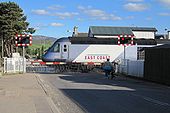
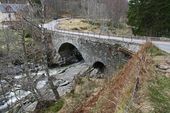
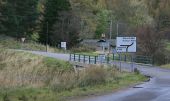
Looking across Coylum Bridge on the B970, to the TOTSO, with the former A951 continuing east as the mainline
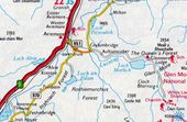
Map, c.1977, showing the A9, B970 and A951 around Aviemore.
This page contains scans from a map that is believed may be out of copyright according to UK Crown Copyright, UK Copyright Law for other maps published in the United Kingdom, or Irish Government Copyright, is not being used to generate profit in this context, and presents information that cannot be exhibited otherwise.
If the copyright holder considers this is an infringement of their rights, please contact the site management team to discuss further steps.
If the copyright holder considers this is an infringement of their rights, please contact the site management team to discuss further steps.
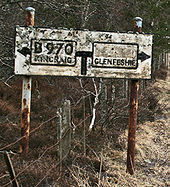
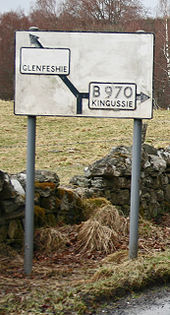
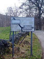
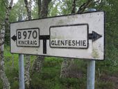
Pre-Worboys direction sign on B970 at Glenfieshie, having been cleaned and mounted on new posts since it was seen here.
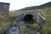
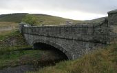
The modern Bridge of Brown carrying the A939 across the Burn of Lochy at the bottom of a steep glen.
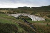
Delavine Bridge on the military road built by Caulfeild c1754. The bridge lies on the stretch of road now bypassed by the longer route of the A939
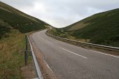
The military road built by Caulfeild winds its way across this vast landscape towards the A939 to Braemar. Looking east across Tornahaish Bridge from Delavine
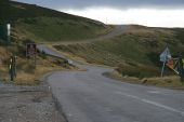
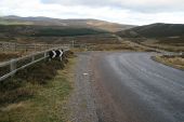
The A939 heading north towards Colnabaichin Bridge, with the old military road to Corgarff forking off to the left.
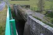
Looking across Colnabaichin Bridge across the River Don on the A939, to the junction with the A944 beyond
Page 1, 48 file(s) of 54 shown
Hidden categories:
