From Roader's Digest: The SABRE Wiki
Jump to navigation
Jump to search
This gallery has no child categories
Clyde Sea Lochs Trail
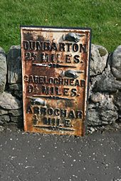
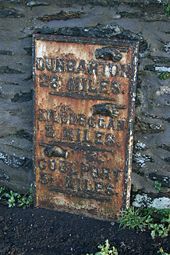
Milepost on the A814 at Arrochar, just south of the B838 junction.
A814 - sign on the A814 at Glenmallan
Originally uploaded to Coppermine on Jun 05, 2007 by J--M--B
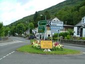
Arrochar village and junction
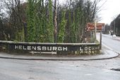
Old painted directions at Dumbarton Fork on the A82/A814.
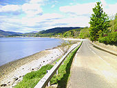
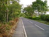
B833 alongside Loch Long
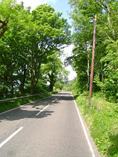
B833 facing North, adjacent to Loch Long. Approaching Ardpeaton, having passed through Cove.
Originally uploaded to Coppermine on Jun 15, 2006 by jcpren Milepost on the B833 at Cove
B833 heading into Ardpeaton
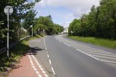
A814 - Start of the Coulport Road at Whistlefield
Originally uploaded to Coppermine on Jun 05, 2007 by J--M--B
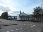
Church in Garelochhead (C) Stephen Sweeney
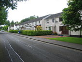
From the bottom of Feorlin Way.
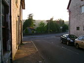
Garelochhead streets in evening sunlight
