File:A500 junction with M6 - Geograph - 3505250.jpg
Jump to navigation
Jump to search

No higher resolution available.
A500_junction_with_M6_-_Geograph_-_3505250.jpg (640 × 472 pixels, file size: 47 KB, MIME type: image/jpeg)
| |||||||||||||||||||||||||
|
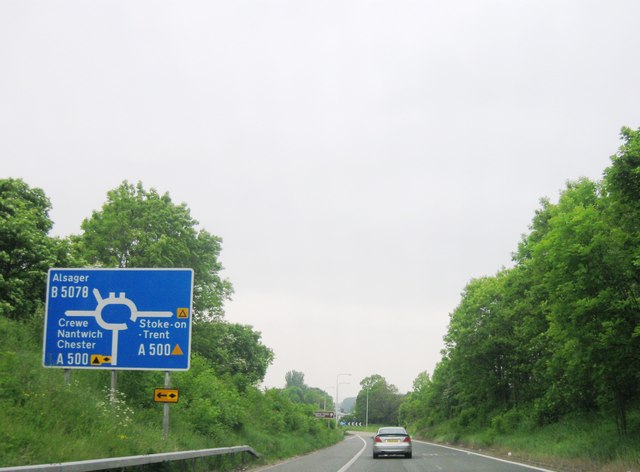
Galleries | M6 | A500 | B5078 | Barthomley Interchange | Advance Direction Sign | ||
File history
Click on a date/time to view the file as it appeared at that time.
| Date/Time | Thumbnail | Dimensions | User | Comment | |
|---|---|---|---|---|---|
| current | 23:50, 6 June 2016 | | 640 × 472 (47 KB) | Jeni (talk | contribs) | '''A500 junction with M6''' |
File usage
The following 3 pages use this file: