File:A9 old road.jpg
Jump to navigation
Jump to search

Size of this preview: 800 × 512 pixels. Other resolution: 1,936 × 1,238 pixels.
Original file (1,936 × 1,238 pixels, file size: 813 KB, MIME type: image/jpeg)
| |||||||||||||||||||||||||
|
Galleries | A9 | A9/Drumochter Pass | ||
File history
Click on a date/time to view the file as it appeared at that time.
| Date/Time | Thumbnail | Dimensions | User | Comment | |
|---|---|---|---|---|---|
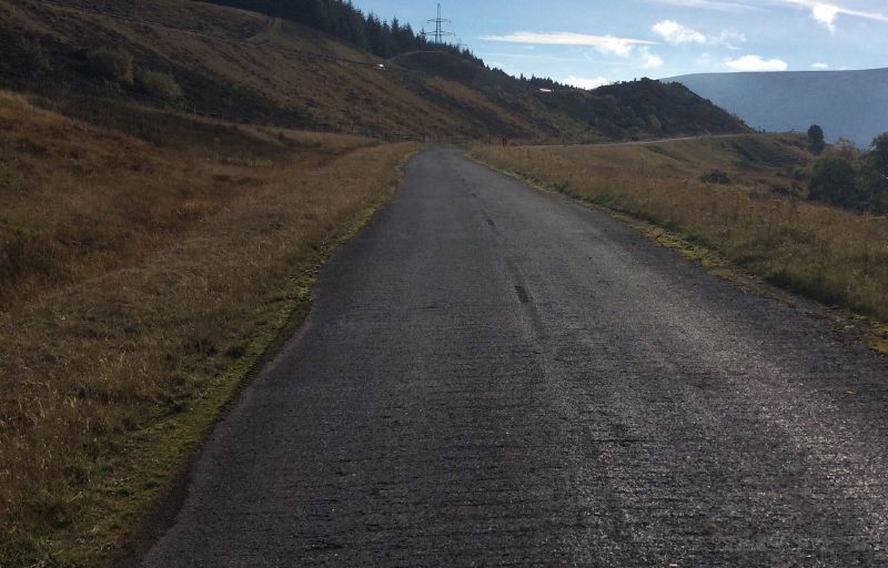
| current | 19:47, 15 October 2015 | | 1,936 × 1,238 (813 KB) | Duncan macknight (talk | contribs) | One of the sections of the old road. This section gradually deteriorates until there road has broken into stones and sand path. |
| 19:41, 15 October 2015 |  | 2,044 × 1,461 (1.43 MB) | Duncan macknight (talk | contribs) | One of the sections of the old road that the cycle track uses. This loops into the new enbankment and reappears south of the Wade Bridge Junction. |
File usage
The following 2 pages use this file:
- A9/Drumochter Pass
- File:A9 old road (file redirect)