File:Approaching East Brent Roundabout - Geograph - 4251697.jpg
Jump to navigation
Jump to search

No higher resolution available.
Approaching_East_Brent_Roundabout_-_Geograph_-_4251697.jpg (640 × 480 pixels, file size: 78 KB, MIME type: image/jpeg)
| |||||||||||||||||||||||||
|
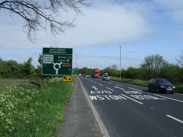
Galleries | A38 | East Brent Roundabout | Advance Direction Sign | ||
File history
Click on a date/time to view the file as it appeared at that time.
| Date/Time | Thumbnail | Dimensions | User | Comment | |
|---|---|---|---|---|---|
| current | 10:48, 17 August 2016 | | 640 × 480 (78 KB) | C2r (talk | contribs) | '''Approaching East Brent Roundabout''' Heading north on Bristol Road (A38). |
File usage
The following page uses this file: