File:Black Country Route View - Geograph - 1680355.jpg
Jump to navigation
Jump to search

No higher resolution available.
Black_Country_Route_View_-_Geograph_-_1680355.jpg (640 × 480 pixels, file size: 72 KB, MIME type: image/jpeg)
| |||||||||||||||||||||||||
|
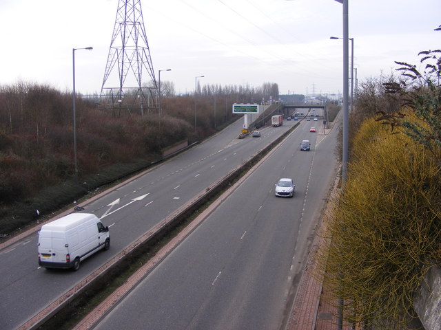
Galleries | A454 | Wolverhampton | Butterfly Signs | Anson Junction | Black Country Route | Willenhall | ||
File history
Click on a date/time to view the file as it appeared at that time.
| Date/Time | Thumbnail | Dimensions | User | Comment | |
|---|---|---|---|---|---|
| current | 12:35, 29 January 2010 | | 640 × 480 (72 KB) | Jeni (talk | contribs) | {{Information |description = Black Country Route View |day = 27 |month = 01 |year = 2010 |photographer = © Copyright [http://www.geograph.org.uk/profile/11160 Gordon Griffiths] and licensed for reuse under [http://creativecommons |
File usage
The following 5 pages use this file: