File:Bridge at Sutherland's Grove - Geograph - 4912794.jpg
Jump to navigation
Jump to search

No higher resolution available.
Bridge_at_Sutherland's_Grove_-_Geograph_-_4912794.jpg (640 × 426 pixels, file size: 128 KB, MIME type: image/jpeg)
| |||||||||||||||||||||||||
|
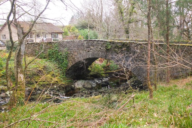
Galleries | A828 | Argyll Coastal Route | Abhainn Teithil Bridge | ||
File history
Click on a date/time to view the file as it appeared at that time.
| Date/Time | Thumbnail | Dimensions | User | Comment | |
|---|---|---|---|---|---|
| current | 09:29, 30 March 2022 | | 640 × 426 (128 KB) | Rileyrob (talk | contribs) | '''Bridge at Sutherland's Grove''' Bridge over the Abhainn Teithil near the car park and start of the forest walks. |
File usage
The following page uses this file: