File:Bridge over the Catter Burn - Geograph - 6885258.jpg
Jump to navigation
Jump to search

No higher resolution available.
Bridge_over_the_Catter_Burn_-_Geograph_-_6885258.jpg (640 × 491 pixels, file size: 127 KB, MIME type: image/jpeg)
| |||||||||||||||||||||||||
|
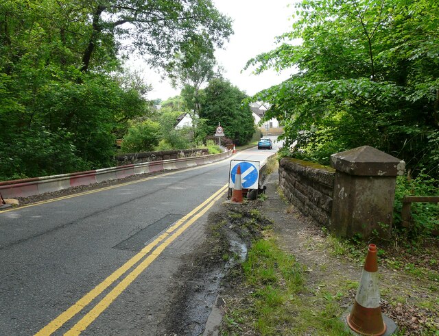
Galleries | A809 | Catter Burn Bridge | Arch Bridges | ||
File history
Click on a date/time to view the file as it appeared at that time.
| Date/Time | Thumbnail | Dimensions | User | Comment | |
|---|---|---|---|---|---|
| current | 09:31, 22 March 2022 | | 640 × 491 (127 KB) | Rileyrob (talk | contribs) | '''Bridge over the Catter Burn''' The barriers reducing the width of the A809 over the bridge have been in place for the last couple of years. This is an image to replicate the first submitted for this square in 2006 171147. |
File usage
The following 3 pages use this file: