File:Campbeltown- the Kintyre Express - Geograph - 5106286.jpg
Jump to navigation
Jump to search

No higher resolution available.
Campbeltown-_the_Kintyre_Express_-_Geograph_-_5106286.jpg (640 × 480 pixels, file size: 56 KB, MIME type: image/jpeg)
| |||||||||||||||||||||||||
|
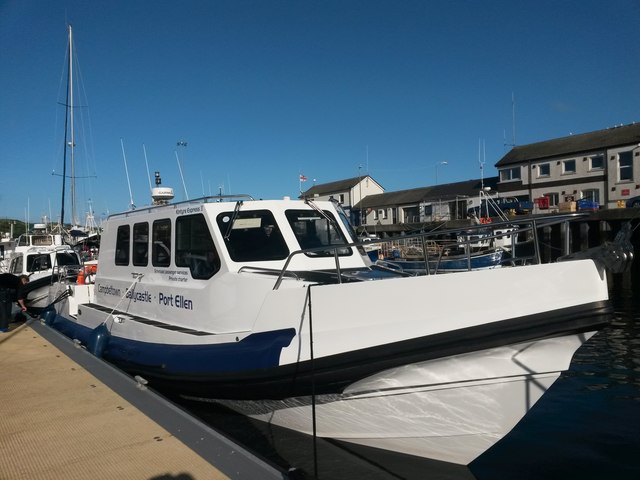
Galleries | Ballycastle - Campbeltown ferry | Campbeltown | ||
File history
Click on a date/time to view the file as it appeared at that time.
| Date/Time | Thumbnail | Dimensions | User | Comment | |
|---|---|---|---|---|---|
| current | 09:23, 18 August 2018 | | 640 × 480 (56 KB) | C2r (talk | contribs) | '''Campbeltown- the Kintyre Express''' This vessel provides a passenger ferry service between Campbeltown and Ballycastle, County Antrim, with some routes taking in Port Ellen on the isle of Islay. The crossing between Scotland and Northern Ireland re... |
File usage
The following 2 pages use this file: