File:Cattle grid in minor road (C) Richard Dorrell - Geograph - 840437.jpg
Jump to navigation
Jump to search

No higher resolution available.
Cattle_grid_in_minor_road_(C)_Richard_Dorrell_-_Geograph_-_840437.jpg (640 × 480 pixels, file size: 72 KB, MIME type: image/jpeg)
| |||||||||||||||||||||||||
|
Galleries | A864 | C1245 (Highland) | ||
File history
Click on a date/time to view the file as it appeared at that time.
| Date/Time | Thumbnail | Dimensions | User | Comment | |
|---|---|---|---|---|---|
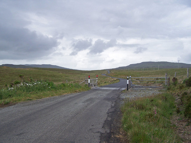
| current | 19:59, 10 April 2014 | | 640 × 480 (72 KB) | Vlad (talk | contribs) | '''Cattle grid in minor road (C) Richard Dorrell '''<br/>Looking North - this is the minor road which forms a Dunvegan "bypass". The road from this recently replaced cattle grid to its junction with the A850 was resurfaced during June 2008. |
File usage
The following 3 pages use this file:
_Richard_Dorrell_-_Geograph_-_840437.jpg&oldid=458653)