 | |  |
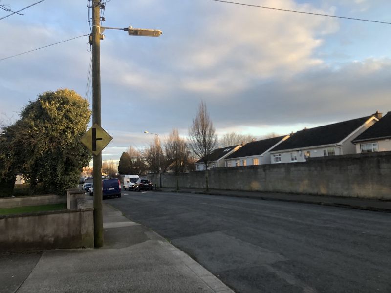
| | Description: | The former route of the N2 in Finglas, with unnecessary warning signs. | | Location: | 53.394051, -6.302964 | | Road: | N2 | | Date: | 17 03 2021 | | Photographer: | Johnathan404 | | Source: | Own work |
|
|
| |
 | |  |
File history
Click on a date/time to view the file as it appeared at that time.
| Date/Time | Thumbnail | Dimensions | User | Comment |
|---|
| current | 17:41, 9 January 2022 |  | 2,000 × 1,500 (555 KB) | Johnathan404 (talk | contribs) | The former route of the N2 in Finglas, with unnecessary warning signs. |
File usage
There are no pages that use this file.
This file contains additional information, probably added from the digital camera or scanner used to create or digitise it.
If the file has been modified from its original state, some details may not fully reflect the modified file.
