File:Hawk's Hill - Steep Hill 11% (C) Adam Morse - Geograph - 1428841.jpg
Jump to navigation
Jump to search

No higher resolution available.
Hawk's_Hill_-_Steep_Hill_11%_(C)_Adam_Morse_-_Geograph_-_1428841.jpg (640 × 400 pixels, file size: 125 KB, MIME type: image/jpeg)
| |||||||||||||||||||||||||
|
Galleries | B2122 (Surrey) | A2012 (Leatherhead) | Leatherhead | Warning Sign/Steep Hill | ||
File history
Click on a date/time to view the file as it appeared at that time.
| Date/Time | Thumbnail | Dimensions | User | Comment | |
|---|---|---|---|---|---|
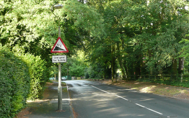
| current | 19:05, 22 June 2014 | | 640 × 400 (125 KB) | Vlad (talk | contribs) | '''Hawk's Hill - Steep Hill 11% (C) Adam Morse '''<br/>Hawk's Hill, Leatherhead. 11% steep hill down sign. |
File usage
The following 4 pages use this file:
_Adam_Morse_-_Geograph_-_1428841.jpg&oldid=379049)