File:M74 bridge site - Geograph - 1322007.jpg
Jump to navigation
Jump to search

No higher resolution available.
M74_bridge_site_-_Geograph_-_1322007.jpg (640 × 359 pixels, file size: 82 KB, MIME type: image/jpeg)
| |||||||||||||||||||||||||
|
Galleries | M74 | Archenshuggle Bridge | ||
File history
Click on a date/time to view the file as it appeared at that time.
| Date/Time | Thumbnail | Dimensions | User | Comment | |
|---|---|---|---|---|---|
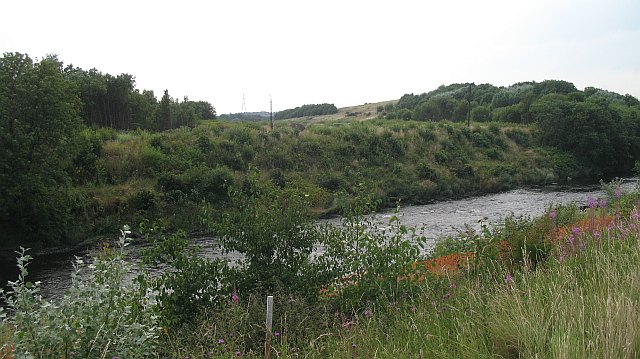
| current | 09:25, 19 June 2010 | | 640 × 359 (82 KB) | Abeaton (talk | contribs) | '''M74 bridge site'''<br/>The M74 will cross the Clyde here, so this is already an historic image. The controversial urban motorway is due for completion in 2011. |
File usage
The following 2 pages use this file: