File:Nardini Cafe - Geograph - 3493719.jpg
Jump to navigation
Jump to search

No higher resolution available.
Nardini_Cafe_-_Geograph_-_3493719.jpg (640 × 427 pixels, file size: 58 KB, MIME type: image/jpeg)
| |||||||||||||||||||||||||
|
Galleries | A78 | C41 (North Ayrshire) | ||
File history
Click on a date/time to view the file as it appeared at that time.
| Date/Time | Thumbnail | Dimensions | User | Comment | |
|---|---|---|---|---|---|
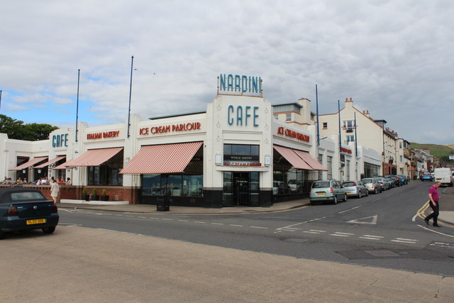
| current | 10:29, 10 March 2021 | | 640 × 427 (58 KB) | Tam nugent (talk | contribs) | A78, Gallowgate Street in the foreground, C41 (North Ayrshire), Nelson Street to the right of the 'world famous' ice cream parlour and cafe. |
File usage
The following page uses this file: