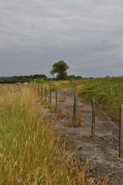
The former A985, replaced by the Valleyfield and Torryburn by-pass. This section starts at the lay-by opposite Blairhall Farm and runs parallel to the new road for most of its length before joining the B9037 near Woodhead Farm.
The former A985, replaced by the Valleyfield and Torryburn by-pass. This section starts at the lay-by opposite Blairhall Farm and runs parallel to the new road for most of its length before rejoining the B9037 near Woodhead Farm.
File usage
There are no pages that use this file.
Metadata
This file contains additional information, probably added from the digital camera or scanner used to create or digitise it.
If the file has been modified from its original state, some details may not fully reflect the modified file.
