File:River Ouse - Geograph - 331360.jpg
Jump to navigation
Jump to search

No higher resolution available.
River_Ouse_-_Geograph_-_331360.jpg (640 × 466 pixels, file size: 104 KB, MIME type: image/jpeg)
| |||||||||||||||||||||||||
|
Galleries | A26 | Pictures from Geograph | Phoenix Causeway Bridge | ||
File history
Click on a date/time to view the file as it appeared at that time.
| Date/Time | Thumbnail | Dimensions | User | Comment | |
|---|---|---|---|---|---|
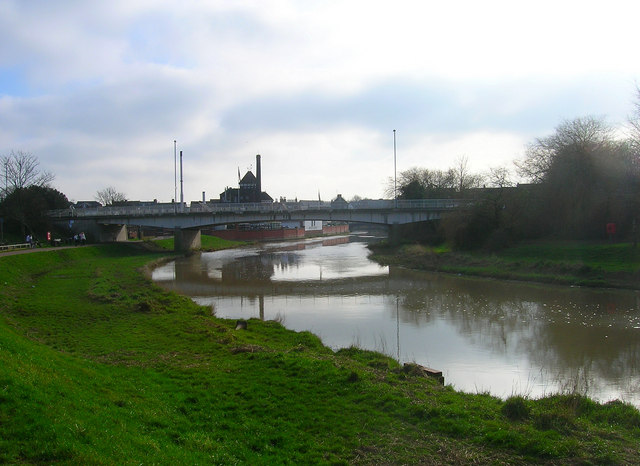
| current | 17:11, 19 May 2010 | | 640 × 466 (104 KB) | Bob@romiley1 (talk | contribs) | '''River Ouse'''<br/>Looking south towards the Phoenix Causeway roadbridge and Harveys Brewery. The former wharf would have turned left between the bridge and the walls of the brewery. |
File usage
The following 2 pages use this file: