File:Roundabout at junction of A149 and B1440 - Geograph - 131659.jpg

From Roader's Digest: The SABRE Wiki
Jump to navigation Jump to search

Roundabout_at_junction_of_A149_and_B1440_-_Geograph_-_131659.jpg(640 × 426 pixels, file size: 123 KB, MIME type: image/jpeg)

Y topleft.gifY topright.gif
Description:
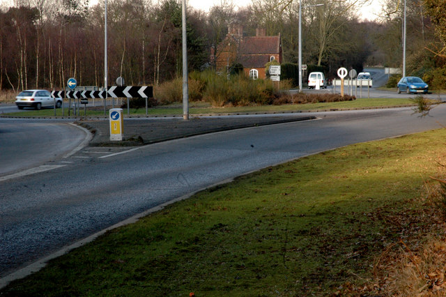
Roundabout at junction of A149 and B1440 This view was taken from the edge of Jocelyn Wood, part of the Sandringham Estate. The B1440 is the old A149, the new road, off to the left, by-passes the villages of Dersingham, Ingoldisthorpe and Snettisham.
Location:52.834929, 0.496988
Road:A149, B1440
Date:03 03 2006
Photographer:(c) Copyright Dr W E Lee and licensed for reuse under this Creative Commons Licence
Source:Geograph

Map

Y btmleft.gifY btmright.gif

Galleries  | A149 | B1440 | The Alderman George Pratt Roundabout | Bollard | Roundabout

File history

Click on a date/time to view the file as it appeared at that time.

Date/TimeThumbnailDimensionsUserComment
current19:53, 4 September 2016Thumbnail for version as of 19:53, 4 September 2016640 × 426 (123 KB)C2r (talk | contribs)'''Roundabout at junction of A149 and B1440''' This view was taken from the edge of Jocelyn Wood, part of the Sandringham Estate. The B1440 is the old A149, the new road, off to the left, by-passes the villages of Dersingham, Ingoldisthorpe and Snettis...

The following 2 pages use this file:

Metadata

SABRE - The Society for All British and Irish Road Enthusiasts
Discuss - Digest - Discover - Help