File:Slip road, Victoria Interchange - Geograph - 1629282.jpg
Jump to navigation
Jump to search

No higher resolution available.
Slip_road,_Victoria_Interchange_-_Geograph_-_1629282.jpg (640 × 491 pixels, file size: 71 KB, MIME type: image/jpeg)
| |||||||||||||||||||||||||
|
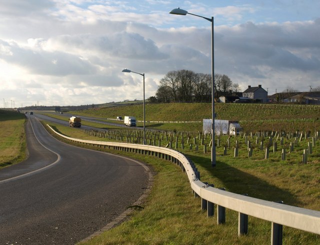
Galleries | A30 | A30 Bodmin - Indian Queens Dualling | ||
File history
Click on a date/time to view the file as it appeared at that time.
| Date/Time | Thumbnail | Dimensions | User | Comment | |
|---|---|---|---|---|---|
| current | 21:03, 30 January 2010 | | 640 × 491 (71 KB) | Jeni (talk | contribs) | {{Information |description = Slip road, Victoria Interchange |day = 17 |month = 12 |year = 2009 |photographer = © Copyright [http://www.geograph.org.uk/profile/5089 Derek Harper] and licensed for reuse under [http://creativecommo |
File usage
There are no pages that use this file.