File:The Grosvenor Inn (C) Glyn Baker - Geograph - 3406084.jpg
Jump to navigation
Jump to search

No higher resolution available.
The_Grosvenor_Inn_(C)_Glyn_Baker_-_Geograph_-_3406084.jpg (640 × 424 pixels, file size: 69 KB, MIME type: image/jpeg)
| |||||||||||||||||||||||||
|
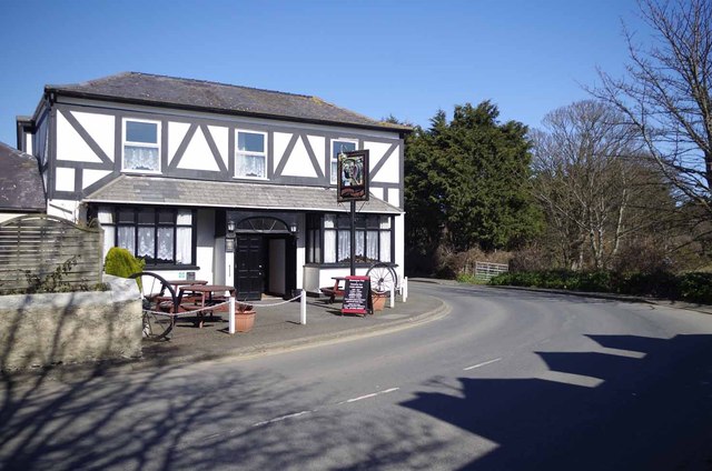
Galleries | A17 (Isle of Man) | B6 (Sulby - Bride) | Andreas | Roadside Inn | ||
File history
Click on a date/time to view the file as it appeared at that time.
| Date/Time | Thumbnail | Dimensions | User | Comment | |
|---|---|---|---|---|---|
| current | 21:13, 17 June 2013 | | 640 × 424 (69 KB) | Si404 (talk | contribs) | '''The Grosvenor Inn (C) Glyn Baker '''<br/>A good stop for a pint and a bite to eat <span class="nowrap"><a title="http://grosvenor.im/location.php" rel="nofollow" href="http://grosvenor.im/location.php">Link</a><img style="padding-left:2px;" alt="Ext... |
File usage
The following 5 pages use this file:
_Glyn_Baker_-_Geograph_-_3406084.jpg&oldid=680739)