File:The Vartry reservoir, Roundwood (1990-2) - Geograph - 3349053.jpg
Jump to navigation
Jump to search

No higher resolution available.
The_Vartry_reservoir,_Roundwood_(1990-2)_-_Geograph_-_3349053.jpg (640 × 414 pixels, file size: 97 KB, MIME type: image/jpeg)
| |||||||||||||||||||||||||
|
Galleries | R765 | Bridges | Abandoned Road | ||
File history
Click on a date/time to view the file as it appeared at that time.
| Date/Time | Thumbnail | Dimensions | User | Comment | |
|---|---|---|---|---|---|
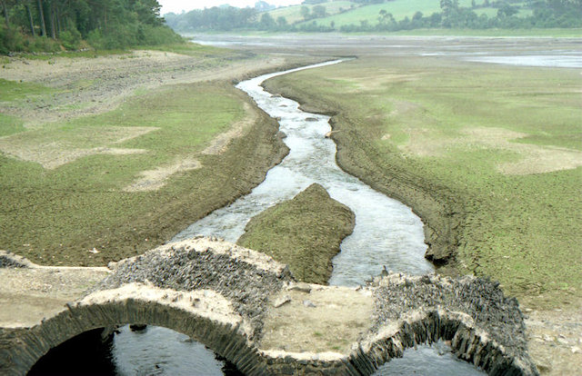
| current | 06:04, 24 May 2016 | | 640 × 414 (97 KB) | C2r (talk | contribs) | '''The Vartry reservoir, Roundwood (1990-2)''' The view south from the R765 bridge, showing the older bridge whihc is usually below the water line. |
File usage
The following page uses this file:
_-_Geograph_-_3349053.jpg&oldid=487277)