Gallery:A6 (Northern Ireland)

From Roader's Digest: The SABRE Wiki
Jump to navigation Jump to search
A1-A99 (Northern Ireland) > A6 (Northern Ireland)


This gallery has no child categories
A6 (Northern Ireland)
 
 
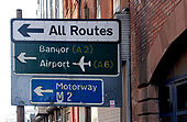
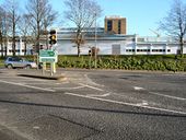
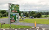
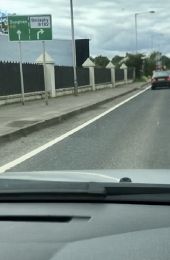
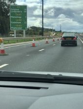
Oh what a dreadful mistake - Coppermine - 22222.jpg
Oh what a dreadful mistake Originally uploaded to Coppermine on May 21, 2009 by Truvelo
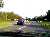
South - Coppermine - 23239.jpg
1/2 mile to M22 sign on A6 heading East / South Originally uploaded to Coppermine on Sep 25, 2009 by loch_cuan73
South - Coppermine - 23238.jpg
M22 ADS on A6 heading Est / South Originally uploaded to Coppermine on Sep 25, 2009 by loch_cuan73
Faded road sign, Belfast - Geograph - 1667781.jpg
Faded road sign, Belfast
Faded and peeling sign in Chichester Street. The patch was added when the lower part of the street (passing the Law Courts) was closed (for security reasons) to through traffic. It has now re-opened but as a bus lane and for access only <a href='http://www.geograph.org.uk/photo/1518888'>J3474 : Bus and bus lane, Belfast</a>.
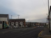
York Street, Belfast (3) - Geograph - 1824718.jpg
York Street, Belfast (3)
See <a href='http://www.geograph.org.uk/photo/702496'>J3374 : York Street, Belfast (2)</a>. York Street is a continuation of Royal Avenue towards York Road, the Shore Road and Carrickfergus. This is the southern end where it meets Donegall Street. The foreground was once the site of a major junction for the tramlines serving the Antrim and Crumlin Roads, Cliftonville, Oldpark and Greencastle. Cavendish Woodhouse occupied the white building on the left and the Co-op <a href='http://www.geograph.org.uk/photo/702521'>J3374 : Former Co-op, Belfast (detail) (1)</a> was just beyond. The Art College <a href='http://www.geograph.org.uk/photo/693237'>J3374 : The Art College, Belfast</a> is on the right.
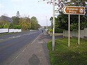
Chapel Road, Dungiven - Geograph - 594543.jpg
Chapel Road, Dungiven
Heading north-west into the town
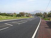
Foreglen Road, Dungiven - Geograph - 595249.jpg
Foreglen Road, Dungiven
Pictured near Owenbeg and heading towards the town
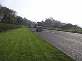
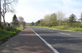
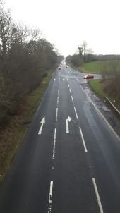
A6 at Magheraboy - Geograph - 594554.jpg
A6 at Magheraboy
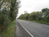
The traffic is heading out of Dungiven on a busy road
Glenshane - Coppermine - 6501.JPG
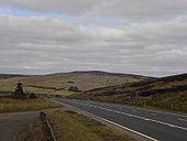
Glenshane

The desolate Glenshane Pass cuts through the Sperrin Mountains as part of the A6 between Maghera and Dungiven and is one of the highest points of the road network in Ireland

Originally uploaded to Coppermine on Jun 22, 2006 by explo
Sandyknowes roundabout near Belfast (2) - Geograph - 596290.jpg
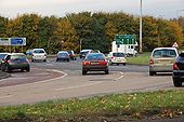
Sandyknowes roundabout near Belfast (2)
See <a href='http://www.geograph.org.uk/photo/596287'>J3082 : Sandyknowes roundabout near Belfast (1)</a>. Scullions Road is in the foreground (lower left). The road to Antrim is at middle-left. The traffic is heading for who-knowes-where!
Sandyknowes roundabout near Belfast (4) - Geograph - 596316.jpg
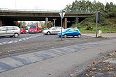
Sandyknowes roundabout near Belfast (4)
See <a href='http://www.geograph.org.uk/photo/596287'>J3082 : Sandyknowes roundabout near Belfast (1)</a>. The slip road to Scullions Road <a href='http://www.geograph.org.uk/photo/596290'>J3082 : Sandyknowes roundabout near Belfast (2)</a> is in the foreground. The off-slip from the M2 <a href='http://www.geograph.org.uk/photo/596302'>J3082 : Sandyknowes roundabout near Belfast (3)</a> is at middle right. The south-bound on-slip to Belfast is behind the flyover to the right. The full-time lights have made negotiation of the roundabout somewhat safer and less fraught.
Old STOP sign - Coppermine - 8017.JPG
old STOP sign

The original and best 'STOP' still standing in October 2006 in Antrim, NI. The main road here is the A6.

Originally uploaded to Coppermine on Sep 30, 2006 by A42_Sparks
Traffic lights at Altnagelvin junction - Geograph - 674050.jpg
Traffic lights at Altnagelvin junction
The junction of the Belt road and the A6 with Altnagelvin hospital in the background.
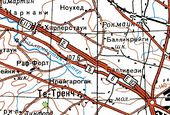
Soviet 1.jpg
E117 on Soviet map This page includes a scan of a non-free copyrighted map, and the copyright for it is most likely held by the company or person that produced the map. It is believed that the use of a limited number of web-resolution scans qualifies as fair use under United States copyright law, where this web page is hosted, as such display does not significantly impede the right of the copyright holder to sell the copyrighted material, is not being used to generate profit in this context, and presents information that cannot be exhibited otherwise.
If the copyright holder considers this is an infringement of their rights, please contact the Site Management Team to discuss further steps.
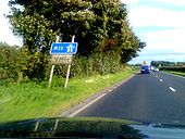
A6 near Ballymoney - Geograph - 595300.jpg
A6 near Ballymoney
Foreglen Road (A6) - Geograph - 595257.jpg
Foreglen Road (A6)
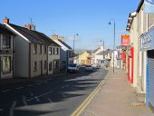
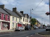
Main Street, Dungiven - Geograph - 3199535.jpg
Main Street, Dungiven
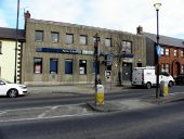
Northern Bank, Dungiven - Geograph - 2292031.jpg
Northern Bank, Dungiven
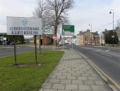
Main Street, Dungiven - Geograph - 2292059.jpg
Main Street, Dungiven
Dungiven, County Derry - Londonderry - Geograph - 594481.jpg
Dungiven, County Derry - Londonderry
Hillhead Road - Geograph - 3308800.jpg
Hillhead Road
Milepost near Antrim - Geograph - 2417380.jpg
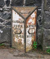
Milepost near Antrim
The Belmont Road, Antrim - Geograph - 615064.jpg
The Belmont Road, Antrim
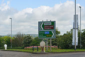
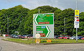
Choices at the roundabout - Geograph - 2572769.jpg
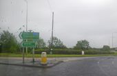
Choices at the roundabout
South - Coppermine - 23237.jpg
J3 M22 heading East / South Originally uploaded to Coppermine on Sep 25, 2009 by loch_cuan73
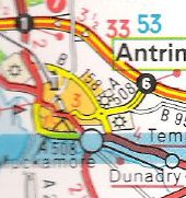
A508NI.jpg
Antrim area from 1995 Michelin Atlas of Great Britain and Ireland

This page includes a scan of a non-free copyrighted map, and the copyright for it is most likely held by the company or person that produced the map. It is believed that the use of a limited number of web-resolution scans qualifies as fair use under United States copyright law, where this web page is hosted, as such display does not significantly impede the right of the copyright holder to sell the copyrighted material, is not being used to generate profit in this context, and presents information that cannot be exhibited otherwise.
If the copyright holder considers this is an infringement of their rights, please contact the Site Management Team to discuss further steps.
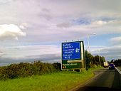
A6 NI Glenshane Pass.jpg
Descent from the Glenshane Pass, the highest point in Ireland.
End of A6 on the Waterside.jpg
The A6 meeting the A2 on the Waterside
A29-A6 Link.jpg
The A29, as seen from the A6. The two routes are connected by a short link road.
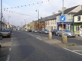
Main Street, Dungiven - Geograph - 3908929.jpg
Main Street, Dungiven
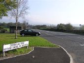
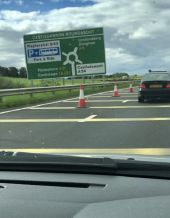
Another dreadful sign on the same roundabout - Coppermine - 22221.jpg
Another dreadful sign on the same roundabout Originally uploaded to Coppermine on May 21, 2009 by Truvelo
NIA6DuallingPOTMC.jpg
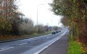
Northern Irish A6 dualling between Derry and Dungiven, looking west
IMG 3475.jpg
Soon to be former A6 at B182 Hillhead Road flyover
IMG 3476.jpg
RCS on the new A6 Castledawson bypass
IMG 3478.jpg
Enormous ADS on the new A6 approaching Castledawson roundabout
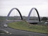
Toome Bridge - Geograph - 78227.jpg
Toome Bridge A new bridge over the river Bann, and part of the new Toomebridge bypass, it has made a great difference to a former busy bottleneck through the village. The arches are lit up at night which makes a very pretty sight.
CastledawsonRoundabout1974.jpg
The Castledawson roundabout in 1974. While the image is not the best quality, you can vaugley make out the stub of motorway that was designed as provision for the M22 as it was intended to be its eventual terminus.
Upper Main Street, Dungiven - Flickr - 50838498642.jpg
Description:

Upper Main Street, Dungiven, Co. Londonderry. Then A6 main Belfast-Derry road
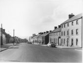
Date: c.1959

Reference: D4069/14/2
 

SABRE - The Society for All British and Irish Road Enthusiasts
Discuss - Digest - Discover - Help