Gallery:A74
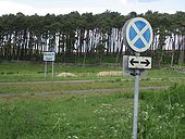
Probably not in the right folder, but I'll include it here for convenience, this Springfield sign isn't actually on the old A74 but is where the A75 comes off into Gretna. Obviously the sign has seen better days.
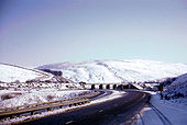
Originally uploaded to Coppermine on Jun 15, 2008 by leopard680Here is my nonation for photo of the month. It is a black & white verison of my A74-The Border Picture
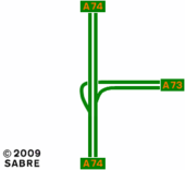
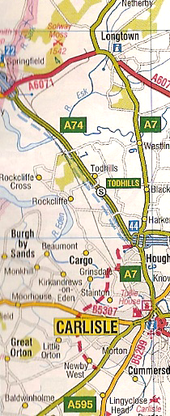
Originally uploaded to Coppermine on Sep 29, 2005 by ABeatonWestern Bypass and Cumberland Gap proposed in the 2007 AtoZ GB Atlas Originally uploaded to Coppermine on Jul 26, 2006 by sabristo simon
This page includes a scan of a non-free copyrighted map, and the copyright for it is most likely held by the company or person that produced the map. It is believed that the use of a limited number of web-resolution scans qualifies as fair use under United States copyright law, where this web page is hosted, as such display does not significantly impede the right of the copyright holder to sell the copyrighted material, is not being used to generate profit in this context, and presents information that cannot be exhibited otherwise.
If the copyright holder considers this is an infringement of their rights, please contact the Site Management Team to discuss further steps.
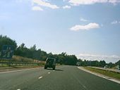
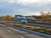
Since this picture was taken, the railway has been electrified, the A74 has been rebuilt as a motorway east of the railway and this road reduced to a single carriageway. (looking SE)
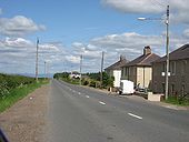
A couple of miles south of Canderside Toll, there's a few houses of the style of council houses built all across Glasgow in the 1930s & 1940s. These and the old type of lamppost add to the period atmosphere of this old route.
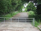
Originally uploaded to Coppermine on Jun 18, 2008 by leopard680Just to the north of Blackwood there is a gated stub of what I'm pretty sure is the original A74 alignment. It meets the M74 at a tangential angle just over the hump visible here, and the alignment continues on the other side, rejoining the B7078 (which is diverted over the M74 to the left of the camera) to continue up to Canderside Toll
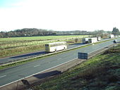
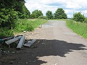
Originally uploaded to Coppermine on Jun 18, 2008 by leopard680This stretch of the original A74 is marooned, just north of the Lesmahagow truckstop (photographed from the truck park). The on-slip from J10 onto the northbound M74 is just over the trees to the right.
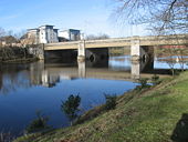
Originally uploaded to Coppermine on Jun 18, 2008 by leopard680Looking south over Lesmahagow 'new bridge'
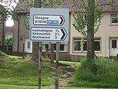
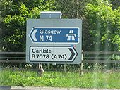
Originally uploaded to Coppermine on Jun 18, 2008 by leopard680There was previously an old blue edged sign here until about a year ago (June 2008 at the time of writing), like its neighbour which remains across the road (see other pics). It's surprising that it's been replaced by a similar, trunk-road sized one, even although this is a mere 'B' road now.
Originally uploaded to Coppermine on Jun 18, 2008 by leopard680Pretty ancient sign, still referring to A74
Originally uploaded to Coppermine on Jun 18, 2008 by leopard680Original route through Lesmahagow curving down to the left, 1960s D2 to the right, existing M74 to the left. Note the big old Lesmahagow sign, of whcih more anon.
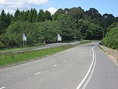
Originally uploaded to Coppermine on Jun 18, 2008 by leopard680Looking north, at this point the D2 alignment goes back down to S2 just south of the Lesmahagow truckstop (J10), but I'm pretty sure it would've continued as D2 to just south of Blackwood, where there's plenty of evidence of ex-D2. The NSL sign looks pretty ancient and manky.
Originally uploaded to Coppermine on Jun 18, 2008 by leopard680Another view - just out of sight of the camera a very faded 'Slow' is painted on the road, which is another clue to this being the original A74
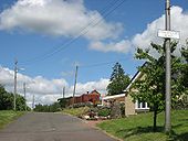
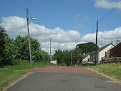
Originally uploaded to Coppermine on Jun 18, 2008 by leopard680Just off the B7078 between Lesmahagow and Happendon, there's a wee stub of road which looks (from its angle in relation to the 1960s alignment) as if it was part of the original A74. There's a few houses along it. The lampposts look pretty ancient which would back up this theory, as does the red surface which you'll see in several of my subsequent pictures of the remaining old stretches of this road.
Originally uploaded to Coppermine on Jun 18, 2008 by leopard680A blue edged sign, probably dating from the early 1980s when this stretch was by-passed my M74
Originally uploaded to Coppermine on Jun 18, 2008 by leopard680On the old section of A74 north of Happendon, there are still a few references to non-motorway M74.
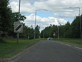
Originally uploaded to Coppermine on Jun 17, 2008 by leopard680Looking north to Happendon services (just round the bend on the left), this is one of the short remaining D2 sections of old A74, although as you can see it is narrowed down to one lane in each direction, by means of hatching, past Happendon services.
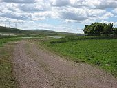
Originally uploaded to Coppermine on Jun 17, 2008 by leopard680Just south of Happendon services, this old alignment can be seen curving round some trees across a field
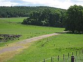
Originally uploaded to Coppermine on Jun 17, 2008 by leopard680Another view as it curves across a field. It's very chewed up in places by cows' hooves.
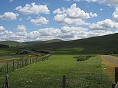
Originally uploaded to Coppermine on Jun 17, 2008 by leopard680As the M74 climbs up from Happendon Services over Douglas Muir (visible on the right), the two previous alignments are just up the hill, as can be seen here. I'm standing on the original. The 1960s road (now B7078) is to the left
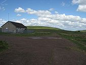
Originally uploaded to Coppermine on Jun 17, 2008 by leopard680Looking south over Douglas Muir, this old stretch of original A74 is visible for a few miles. The building is a Scottish Water premises - see next picture
Originally uploaded to Coppermine on Jun 17, 2008 by leopard680The original A74 alignment is dicernable for a few miles alongside the the 1960s alignment across Douglas Muir. This is about the best bit, next to a Scottish Water building. As will be seen in several pictures, quite a lot of the original alignment seems to be finished in this red tarmac.
Originally uploaded to Coppermine on Jun 17, 2008 by leopard680The old northbound carriageway, looking north. You can just see the Redmoss truck stop in the distance
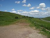
Originally uploaded to Coppermine on Jun 17, 2008 by leopard680Looking south over Douglas Muir, a few miles north of Abington, this old alignment curves down to the right away from the 1960s A74. It has presmumably reverted to farm land, and drops down to a nice old arch bridge (see subsequent pictures), before becoming part of the B740 to Crawfordjohn between the 1960s alignment and
Originally uploaded to Coppermine on Jun 17, 2008 by leopard680The stretch to the left of the house was part of the original route, but now forms a link from the 1960s A74 to the rest of the B740 to Crawfordjohn. To the right of the house and over the bridge is no longer open to the public, presumably reverting to the farmer concerned.
Originally uploaded to Coppermine on Jun 17, 2008 by leopard680At the junction of the Crawfordjohn road where it meets the 1960s A74. Half of the sign for Abington services is missing but we know it's a more recent sign as it has a black border
Originally uploaded to Coppermine on Jun 17, 2008 by leopard680This was the approach to Abington from Glasgow, whilst the road from Edinburgh came in from the left. This is just a stub now, gated at its north end. Does anyone know when this ceased to be the route north from Abington? I'm guessing when the 1990s M74 opened here.
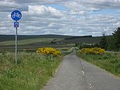
Originally uploaded to Coppermine on Jun 16, 2008 by leopard680Looking north, from just north of Abington services. The old northbound, now a cycletrack, is clearly visible.
Originally uploaded to Coppermine on Jun 16, 2008 by leopard680