Gallery:A83

From Roader's Digest: The SABRE Wiki
Jump to navigation Jump to search
A1-A99 > A83


A83
 
 
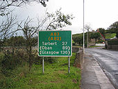
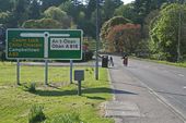
A83 - Campbeltown - Coppermine - 455.jpg
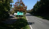
Scottish Signs Outside Campbeltown

OP elliotjm

Originally uploaded to Coppermine on Apr 07, 2005 by M4Simon
A83 Lochgilphead - Coppermine - 454.jpg
Scottish Signs - Pre-Warboys Sign adjacent to A83 Lochgilphead

This is for the small road crossing the Crinan Canal

OP elliotjm

Originally uploaded to Coppermine on Apr 07, 2005 by M4Simon
A83-inverary.jpg
The A83 in Inverary
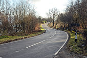
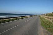
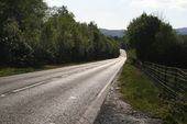
A83 looking south - Geograph - 1684468.jpg
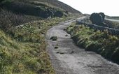
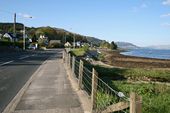
A83 looking south
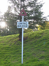
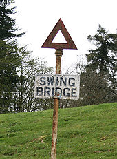
A83-swing-br-sign.jpg
Pre-Worboys 'Swing Bridge' sign alongside A83 on access road to Crinan Canal at Lochgilphead.
Summit stone at the REst and be Thankful - Coppermine - 11234.jpg
Summit stone at the REst and be Thankful

Summit stone at the REst and be Thankful

Originally uploaded to Coppermine on Apr 15, 2007 by Nwallace
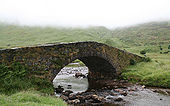
Butter-br1.jpg
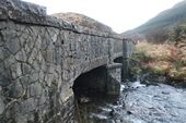
The old Butter Bridge over the Allt Kinglas on the A83 to the west of the Rest and be Thankful
Butter-br2.jpg
The old Butter Bridge over the Allt Kinglas on the A83 to the west of the Rest and be Thankful
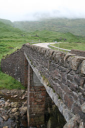
Butter-br3.jpg
The new Butter Bridge over the Allt Kinglas on the A83 to the west of the Rest and be Thankful
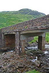
Butter-br4.jpg
The new Butter Bridge over the Allt Kinglas on the A83 to the west of the Rest and be Thankful
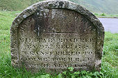
Rabt-stone.jpg
Date Stone at Rest and be Thankful: 'Military Road Repaired by 93rd Regt 1768 Transferred to Comissioners for Highland Roads and Bridges in the year 1814.'
A83-rabt1.jpg
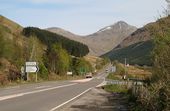
Looking north from the Rest and be Thankful along the Bealach an Easain Duibh.
A83-rabt3.jpg
Looking north from the Rest and be Thankful along the Bealach an Easain Duibh
A83-rabt4.jpg
The junction between the B828 and A83 at the Rest and be Thankful
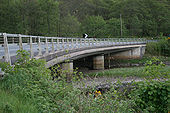
Inverfyne-br1.jpg
The new bridge across the River Fyne on the A83
Inverfyne-br2.jpg
The old bridge across the River Fyne on the A83
A83-a82-tarbet2.jpg
Looking down the final part of the A83 at its TOTSO junction with the A82
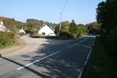
A83-clachan.jpg
The A83 at Clachan, with the old alignment forking left through the village for 100m or so.
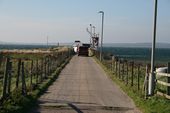
Gigha-ferry1.jpg
The Gigha Ferry at the end of the pier
Gigha-ferry2.jpg
The Gigha Ferry at the end of the pier
A83-tayinloan.jpg
The Tayinloan 'bypass', with the old A83 alignment passing to the left through the village
A83-muasdale.jpg
Could a road get any better than this? The A83 near Musdale
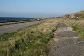
A83-muasdale2.jpg
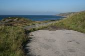
Abandoned section of old A83 alignment near Muasdale
A83-tangy-br1.jpg
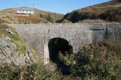
The old bridge near the Tangy junction on the A83
A83-tangy-br2.jpg
Looking across the old bridge near the Tangy junction on the A83
A83-tangy-br3.jpg
What you can't see in this shot is the eight foot height difference between the old road and the new road below! The old bridge near the Tangy junction on the A83
Ctown-rbt.jpg
The roundabout in Cambeltown, possibly the end of the A83, possibly just part of the B842.
A83-end.jpg
The end of the A83 in Campbeltown. The street across the end is the B842
A83-a816-1.jpg
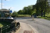
The former terminus of the A816 on the A83 in Lochgilphead, now a mini roundabout.
A83-a816-2.jpg
Approaching the current terminus of the A816 (formerly the A817) on the A83 in Lochgilphead.
A83-a816-3.jpg
The roundabout at the current terminus of the A816 (formerly the A817) on the A83 in Lochgilphead.
A83-port-ann.jpg
One of the long straights on the A83 near Port Ann, leading on to a sweeping bend and another straight!
A83-minard1.jpg
Minard where the A83 meets the coast once more. Looking north-east up Loch Fyne
A83-minard2.jpg
Unexpected Traffic Lights controlling a narrow section of the A83 at the southern end of Minard on the shore of Loch Fyne.
A83-barmore-wood.jpg
One of the joys of driving the A83, the long sweeping descent to Inveraray from the south.
Inveraray.jpg
A83, Inveraray.
Croe-br1.jpg
Bridge over the River Croe on the A83
A83-a819.jpg
The junction of the A819 with the A83 at Inveraray on Loch Fyne
Dunoon-rd-end1.jpg
The modern junction at Dunoon Road End where the A815, Dunoon Road, meets the A83 a couple of miles east of Cairndow.
Dunoon-rd-end2.jpg
Looking west to the old Dunoon Road End junction. The right hand road is the former A83, while the east fork of the A815 drops to the left before doubling back down the hill when it meets the west fork.
Dunoon-rd-end3.jpg
The hairpin on the former A815 at Dunoon Road end, seen from the west fork of the junction. The old A83 sits at the top of the grassy bank to the left, with the new road beyond that.
Dunoon-rd-end4.jpg
In the foreground is the turning space at the hairpin on the former A815, above the retaining wall is the old A83, and above that is the back of a sign on the new A83!
Dunoon-rd-end5.jpg
Looking east from the western end of the old junction at Dunoon Road End. Behind me the road gets cut off by the embankment for the new A83. The left hand road in the photo is the old A83, the right hand one the old A815
Dunoon-rd-end6.jpg
Looking down on the hairpin where the two arms of the former A815 met from the A83 directly above a retaining wall!
A83-warning-sign.jpg
Warning sign on the A83 east of Dunoon Road End
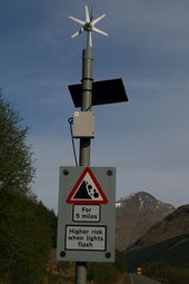
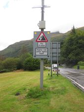
A83 - falling rocks - when lights flash.jpg
Falling/fallen rocks warning with flashing lights to indicate higher risks of landslips on A83 at Ardgarten.
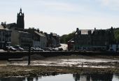
A83-tarbert1.jpg
Looking across the harbour at the A83 / A8015 junction in Tarbert
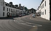
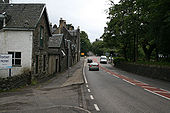
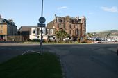
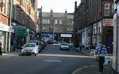
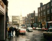
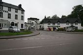
Campeltown Street Scene - Geograph - 369658.jpg
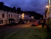
Campeltown Street Scene Campbeltown street
 
 
Page 1, 48 file(s) of 56 shown
Page 1 2

SABRE - The Society for All British and Irish Road Enthusiasts
Discuss - Digest - Discover - Help