File:A3037-map.jpg
Jump to navigation
Jump to search

Size of this preview: 703 × 600 pixels. Other resolution: 707 × 603 pixels.
Original file (707 × 603 pixels, file size: 163 KB, MIME type: image/jpeg)
| |||||||||||||||||||||||||
|
Galleries | A3037 | A303 | A358 | OS One Inch | A3038 (Ilminster) | ||
File history
Click on a date/time to view the file as it appeared at that time.
| Date/Time | Thumbnail | Dimensions | User | Comment | |
|---|---|---|---|---|---|
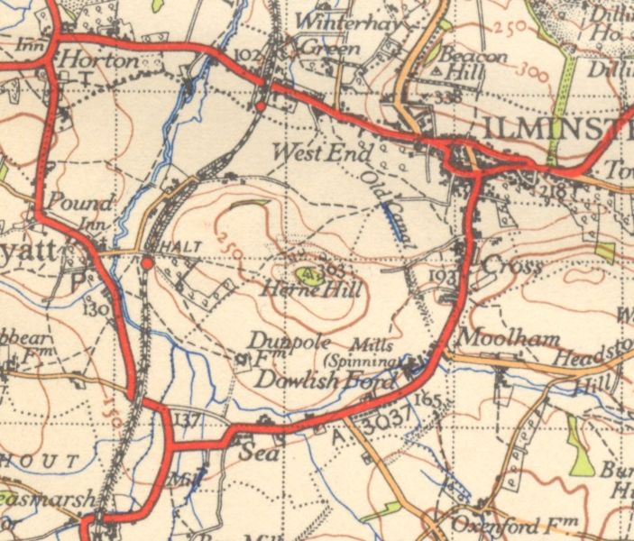
| current | 20:50, 26 November 2009 | | 707 × 603 (163 KB) | Rileyrob (talk | contribs) | {{Information |description = The A3037 near Ilminster in c1945 |day = |month = |year = 1945 |photographer = |source = OS NPE Sheet 177 |road = A3037 |road2 = A303 |road3 = A358 |lat = 50.937 |
File usage
The following 3 pages use this file: