File:A9 - Helmsdale to Ord of Caithness phase 2 - Coppermine - 19881.jpg
Jump to navigation
Jump to search

Size of this preview: 800 × 600 pixels. Other resolution: 1,280 × 960 pixels.
Original file (1,280 × 960 pixels, file size: 132 KB, MIME type: image/jpeg)
| |||||||||||||||||||||||||
|
Galleries | A9 | Helmsdale | Speed limit sign/30 mph | S2 | ||
File history
Click on a date/time to view the file as it appeared at that time.
| Date/Time | Thumbnail | Dimensions | User | Comment | |
|---|---|---|---|---|---|
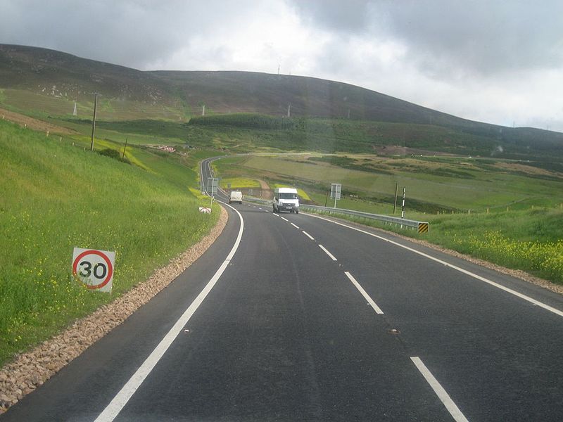
| current | 16:12, 5 April 2010 | | 1,280 × 960 (132 KB) | Rileyrob (talk | contribs) | '''A9 - Helmsdale to Ord of Caithness phase 2''' The most recent improvement to the A9 is the second section to be upgraded between Helmsdale abd the Ord of Caithness. This cuts off a long twisty route past Navidale with some narrow and steep sections. |
File usage
There are no pages that use this file.