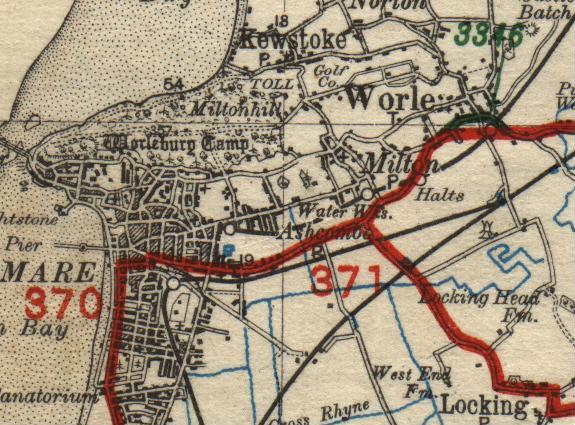
MoT Road Map extract, 1927/28
Originally uploaded to Coppermine on Sep 02, 2007 by DavidB
This page contains scans from a map that is believed may be out of copyright according to UK Crown Copyright, UK Copyright Law for other maps published in the United Kingdom, or Irish Government Copyright, is not being used to generate profit in this context, and presents information that cannot be exhibited otherwise. If the copyright holder considers this is an infringement of their rights, please contact the site management team to discuss further steps.
