File:Castle Hill Interchange Stockport.png
Jump to navigation
Jump to search

No higher resolution available.
Castle_Hill_Interchange_Stockport.png (600 × 500 pixels, file size: 37 KB, MIME type: image/png)
| |||||||||||||||||||||||||
|
Galleries | M66 | ||
File history
Click on a date/time to view the file as it appeared at that time.
| Date/Time | Thumbnail | Dimensions | User | Comment | |
|---|---|---|---|---|---|
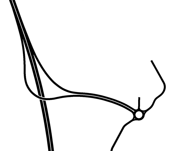
| current | 19:07, 28 February 2020 | | 600 × 500 (37 KB) | Truvelo (talk | contribs) | Planned layout of Castle Hill Interchange (Stockport) which would have provided the missing north facing connection from the local road network onto the M66 at Bredbury Interchange. In the end these slip roads were built at Bredbury making this junction redundant. |
File usage
The following page uses this file: