File:Imh440464 A23 HA old weighbridge.jpg
Jump to navigation
Jump to search

Size of this preview: 800 × 533 pixels. Other resolution: 1,296 × 864 pixels.
Original file (1,296 × 864 pixels, file size: 549 KB, MIME type: image/jpeg)
| |||||||||||||||||||||||||
|
Galleries | A23 | A279 | B2110 | A23/Handcross - Warninglid | Highways Agency | GSJ | ||
File history
Click on a date/time to view the file as it appeared at that time.
| Date/Time | Thumbnail | Dimensions | User | Comment | |
|---|---|---|---|---|---|
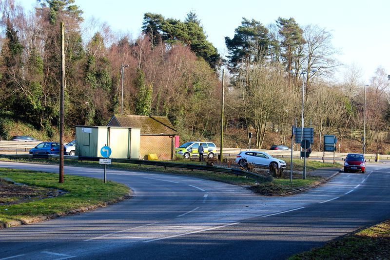
| current | 23:28, 12 February 2012 | | 1,296 × 864 (549 KB) | Greenbeyer (talk | contribs) | The Highways Agency public weighbridge is sited between the A23 northbound off-slip and on-slip. |
File usage
The following 2 pages use this file: