File:Perth1923.GIF
Jump to navigation
Jump to search

No higher resolution available.
Perth1923.GIF (400 × 400 pixels, file size: 6 KB, MIME type: image/gif)
| |||||||||||||||||||||||||
|
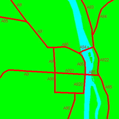
Galleries | A9 | A85 | A90 | Perth | Other Mapping | A93 | A94 | A920 (Perth) | A921 (Perth) | ||
File history
Click on a date/time to view the file as it appeared at that time.
| Date/Time | Thumbnail | Dimensions | User | Comment | |
|---|---|---|---|---|---|
| current | 16:39, 26 April 2012 | | 400 × 400 (6 KB) | Si404 (talk | contribs) | Map of Perth's classified roads on classification. |
| 16:35, 26 April 2012 |  | 400 × 400 (6 KB) | Si404 (talk | contribs) | Map of Perth's classified roads on classification. | |
| 15:45, 15 October 2011 |  | 400 × 400 (6 KB) | Si404 (talk | contribs) | Map of Perth's classified roads on classification. |
File usage
The following 7 pages use this file: