File:Section of the former A985 - Geograph - 3083910.jpg
Jump to navigation
Jump to search

Size of this preview: 398 × 599 pixels. Other resolution: 425 × 640 pixels.
Original file (425 × 640 pixels, file size: 99 KB, MIME type: image/jpeg)
| |||||||||||||||||||||||||
|
Galleries | A985 | B911 (Fife) | Abandoned Road | ||
File history
Click on a date/time to view the file as it appeared at that time.
| Date/Time | Thumbnail | Dimensions | User | Comment | |
|---|---|---|---|---|---|
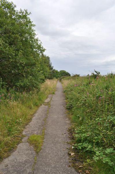
| current | 20:21, 22 August 2012 | | 425 × 640 (99 KB) | Halmyre (talk | contribs) | Section of the former A985. This was part of the stretch between Blairhall and Valleyfield. |
File usage
The following 2 pages use this file: