File:The Combs B6117, Thornhill - Geograph - 797754.jpg
Jump to navigation
Jump to search

No higher resolution available.
The_Combs_B6117,_Thornhill_-_Geograph_-_797754.jpg (640 × 430 pixels, file size: 59 KB, MIME type: image/jpeg)
| |||||||||||||||||||||||||
|
Galleries | b6117 | Warning Sign/Double Bend | S2 | Warning Sign/Children | ||
File history
Click on a date/time to view the file as it appeared at that time.
| Date/Time | Thumbnail | Dimensions | User | Comment | |
|---|---|---|---|---|---|
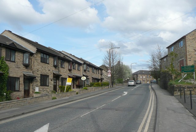
| current | 20:04, 1 April 2010 | | 640 × 430 (59 KB) | Bob@romiley1 (talk | contribs) | '''The Combs B6117, Thornhill'''<br/>The eastern end of The Combs, which becomes Church Lane at the summit. |
File usage
The following 2 pages use this file: