File:The D Road approaching Cliff Vale - Geograph - 96883.jpg
Jump to navigation
Jump to search

No higher resolution available.
The_D_Road_approaching_Cliff_Vale_-_Geograph_-_96883.jpg (602 × 286 pixels, file size: 135 KB, MIME type: image/jpeg)
| |||||||||||||||||||||||||
|
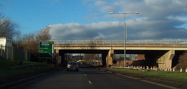
Galleries | A500 | B5045 | Etruria Interchange | Stoke-on-Trent | D2 | GSJ | ||
File history
Click on a date/time to view the file as it appeared at that time.
| Date/Time | Thumbnail | Dimensions | User | Comment | |
|---|---|---|---|---|---|
| current | 19:26, 17 May 2012 | | 602 × 286 (135 KB) | Multiraider2 (talk | contribs) | The D Road (A500) approaches Cliff Vale and goes under the B5045 |
File usage
The following 4 pages use this file: