File:The M2 (northbound) at Glengormley - Geograph - 596337.jpg
Jump to navigation
Jump to search

No higher resolution available.
The_M2_(northbound)_at_Glengormley_-_Geograph_-_596337.jpg (640 × 426 pixels, file size: 80 KB, MIME type: image/jpeg)
| |||||||||||||||||||||||||
|
Galleries | M2 (Northern Ireland) | T7 (Northern Ireland) | E01 | Roadworks | Newtownabbey | E18 | E16 | Sandyknowes Roundabout | ||
File history
Click on a date/time to view the file as it appeared at that time.
| Date/Time | Thumbnail | Dimensions | User | Comment | |
|---|---|---|---|---|---|
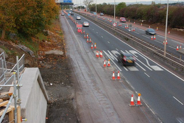
| current | 12:35, 16 June 2010 | | 640 × 426 (80 KB) | Si404 (talk | contribs) | '''The M2 (northbound) at Glengormley'''<br/>See <a href="http://www.geograph.org.uk/photo/568568">J3477 : Almost dead stop on the M2, Belfast</a>. The view outwards from the Hightown Road bridge near Glengormley. The abutment for the new bridge is at l |
File usage
The following 4 pages use this file:
_at_Glengormley_-_Geograph_-_596337.jpg&oldid=619642)