File:1842 tithe map stafford place.jpg
Jump to navigation
Jump to search

No higher resolution available.
1842_tithe_map_stafford_place.jpg (291 × 291 pixels, file size: 42 KB, MIME type: image/jpeg)
| |||||||||||||||||||||||||
|
Galleries | Wolverhampton | Stafford Place | Queen Square (Wolverhampton) | ||
File history
Click on a date/time to view the file as it appeared at that time.
| Date/Time | Thumbnail | Dimensions | User | Comment | |
|---|---|---|---|---|---|
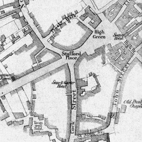
| current | 13:41, 7 June 2018 | | 291 × 291 (42 KB) | Steven (talk | contribs) | Extract from the 1842 Tithe Map of Wolverhampton showing Stafford Place. |
File usage
The following 2 pages use this file: