File:Lyde Green Roundabout - Geograph - 2796282.jpg
Jump to navigation
Jump to search

No higher resolution available.
Lyde_Green_Roundabout_-_Geograph_-_2796282.jpg (640 × 480 pixels, file size: 244 KB, MIME type: image/jpeg)
| |||||||||||||||||||||||||
|
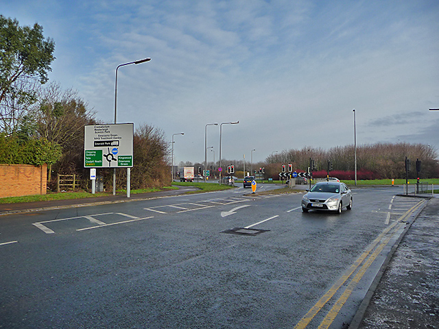
Galleries | A4174 | Lyde Green Roundabout | Bristol | ||
File history
Click on a date/time to view the file as it appeared at that time.
| Date/Time | Thumbnail | Dimensions | User | Comment | |
|---|---|---|---|---|---|
| current | 17:32, 23 April 2018 | | 640 × 480 (244 KB) | C2r (talk | contribs) | '''Lyde Green Roundabout''' The junction of Westerleigh Road with the A4174 north Bristol ring road. |
File usage
The following 3 pages use this file: