File:The M2 (hill section), Belfast (1) - Geograph - 891382.jpg
Jump to navigation
Jump to search

No higher resolution available.
The_M2_(hill_section),_Belfast_(1)_-_Geograph_-_891382.jpg (640 × 409 pixels, file size: 92 KB, MIME type: image/jpeg)
| |||||||||||||||||||||||||
|
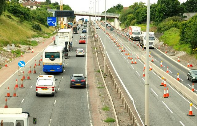
Galleries | M2 (Northern Ireland) | T7 (Northern Ireland) | E01 | Roadworks | Newtownabbey | E16 | E18 | ||
File history
Click on a date/time to view the file as it appeared at that time.
| Date/Time | Thumbnail | Dimensions | User | Comment | |
|---|---|---|---|---|---|
| current | 12:10, 16 June 2010 | | 640 × 409 (92 KB) | Si404 (talk | contribs) | '''The M2 (hill section), Belfast (1)'''<br/>See <a href="http://www.geograph.org.uk/photo/568568">J3477 : Almost dead stop on the M2, Belfast</a> and <a href="http://www.geograph.org.uk/photo/596351">J3181 : The M2 (northbound) at Glengormley (2)</a>. W |
File usage
The following 4 pages use this file:
,_Belfast_(1)_-_Geograph_-_891382.jpg&oldid=339298)