A169
| A169 | ||||||||||
| Location Map ( geo) | ||||||||||
| ||||||||||
| From: | Old Malton (SE803733) | |||||||||
| To: | Newholm, Whitby (NZ871097) | |||||||||
| Via: | Pickering | |||||||||
| Distance: | 23.6 miles (38 km) | |||||||||
| Meets: | B1257, A64, A170, B1410, A171 | |||||||||
| Old route now: | B1257, B1410, A171 | |||||||||
| Highway Authorities | ||||||||||
| Traditional Counties | ||||||||||
| Route outline (key) | ||||||||||
| ||||||||||
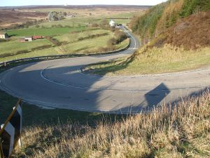
The A169 travels across the moors of north Yorkshire from the A64 at Malton across to just outside the coastal town of Whitby.
Route
The route begins on the A64 Malton by-pass, which was built in the late 1970s. Before then, the A169 originally diverged from the A64, now B1248, at a set of lights in the town centre; that bit of the A169 now being an extension of the B1257.
The road heads north to cross the River Rye and then winds its way through the pleasant countryside of the Vale of Pickering to the old town of Pickering. Here it crosses the A170 at a roundabout. Stop here for the Castle (English Heritage) and the North Yorkshire Moors Railway which essentially shadows the remainder of our route.
Carrying on north, we enter the North York Moors National Park, and the scenery gets wild and wonderful. Much of the road is unfenced, and although fairly straight it is undulating. Landmarks include the Hole of Horcum (a natural basin which is/was a magnet for hang-gliders), occasional sightings of the railway in a valley to the west, and the Fylingdales early warning station (only recently shown on OS maps). There were three huge "golfballs" here until the 1990s when the detector was replaced by the current pyramid.
We finally descend through the village of Sleights (pronounced 'Slites') to cross the Esk and the railway line. Incidentally, the descent into Sleights is called Blue Bank. The first German bomber shot down onto English soil in World War II crashed, was Bannial Flats where the A169 meets the A171. We then ascend again to the road's end at a roundabout on the A171 to the west of Whitby.
History
The original northern end of the road ran slightly to the east. After crossing the Esk in Sleights it continued through Ruswarp along what is now the B1410 along The Carrs and B1416 up Ruswarp Bank, thence into Whitby along Mayfield Road and Downdinner Hill to end on the A171 Bagdale. The old bridge in Sleights was washed away and the new bridge and road were built in 1937, with the A169 rerouted north to meet the A171 at Newholm. After a short multiplex it then continued east to meet its old route from Ruswarp.
Until 1972 both the A171 and A169 went into Whitby, but that has been tidied up. The old A171 is now the B1460, while the old A169 is now the A171 as part of the Whitby bypass!


