B4 (Ramsey - The Cronk)
Jump to navigation
Jump to search
| B4 | ||||
| Location Map ( geo) | ||||
| ||||
| From: | Ramsey (SC446950) | |||
| To: | The Cronk (SC341959) | |||
| Via: | Sandygate | |||
| Distance: | 7.3 miles (11.7 km) | |||
| Met: | A9, B6, B8, B9, B3 | |||
| Now part of: | A13 | |||
| Primary Destinations | ||||
| Traditional Counties | ||||
| Route outline (key) | ||||
| ||||
This article is about the original B4, now the A13.
For the current B4 near Jurby, see B4 (Isle of Man).
For the current B4 near Jurby, see B4 (Isle of Man).
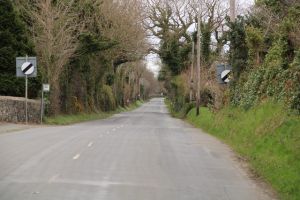
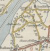
The original B4 on the Isle of Man started on the A9 on the northern edge of Ramsey and headed west across the island, passing through the small settlements of St Judes and Sandygate to reach the B3 at The Cronk. By 1963 the route had been renumbered as the A13, which it remains today.
The Manx Government Circular 1131 of 25/02/1926 defines this route as: Ramsey boundary to Cronk via Sandygate


